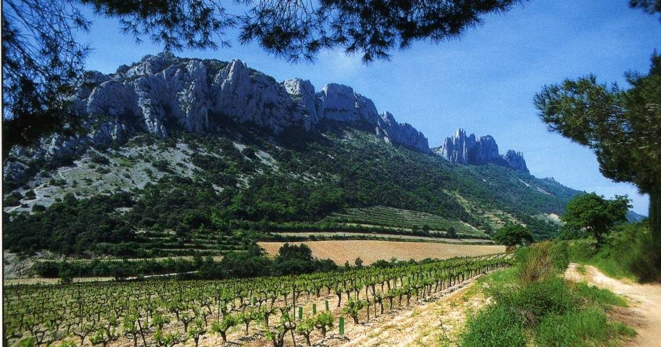
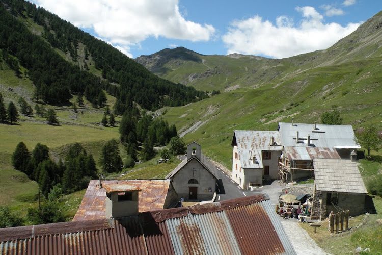
The Gorges de la Nesque form a canyon around twenty kilometres long between Monieux and Méthamis, in the Monts de Vaucluse. The limestone cliffs are in places over 400 m deep, surrounding forests, scrubland, caves and protected wetlands.
A 1,233-hectare Natura 2000 site
The area is designated Natura 2000, covering approximately 1,233 hectares. Woodland habitats account for more than 70% of the area, including oak woods and ancient woodland in the gorge bottom.
From Monieux, several waymarked paths lead into the canyon. The GR9 crosses the area, and local routes lead notably to the chapelle Saint-Michel, a 12th-century Romanesque chapel beneath a large rock overhang beside the Nesque.
The Rocher du Cire is one of the gorge's main landmarks, with a cliff rising more than 200 m above the stream. Walking routes in the area vary considerably in difficulty: it is better to choose a specific recognised route rather than regard the gorges as a single circuit.
What makes the Nesque distinctive is its combination of Mediterranean woodland, limestone canyon and cave-dwelling heritage, within a natural area where protecting wildlife and habitats means staying on authorised paths.