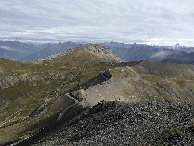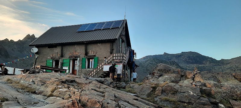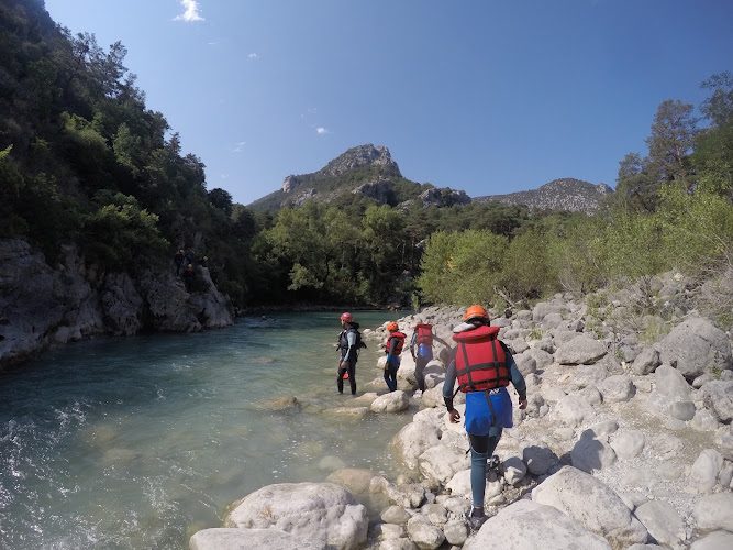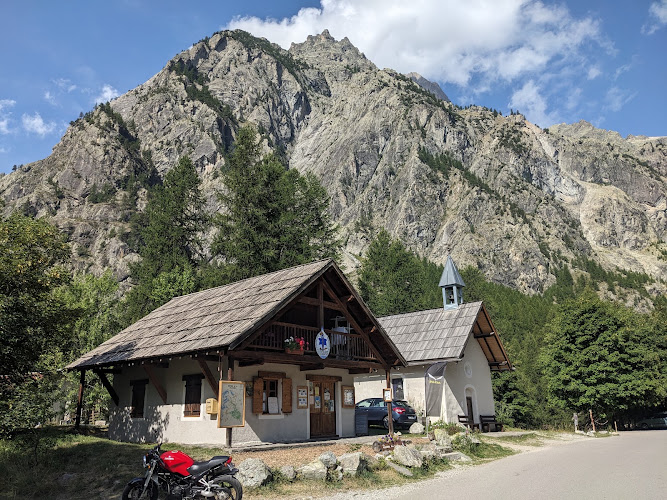
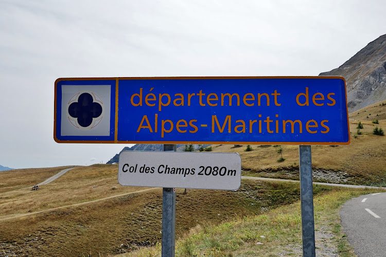

At the boundary between the Haut-Verdon and Haut-Var, Col des Champs reaches an altitude of 2,045 m and offers wide views over both valleys. The official walking route starts at Ratéry, near Colmars, and climbs to the pass through larch woods, alpine pastures and black-earth marl slopes.
A three-hour hike on the GR®52A
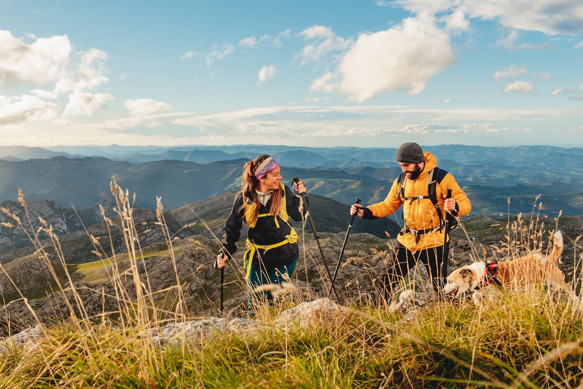
The route is a 9 km out-and-back, with 360 m of ascent and approximately three hours' walking. The Tourist Office grades it difficult and the route follows red-and-white waymarks in the GR®52A and Tour du Haut-Verdon area.
Why climb to the pass?
At the top, the view extends 360° over the Haut-Verdon and Haut-Var. The Aiguilles de Pelens stand out on the Alpes-Maritimes side, while Ratéry forest gives the first part of the hike a much more wooded character.
What if you stay after sunset?
The pass now lies within the extended Alpes Azur Mercantour International Dark Sky Reserve. In 2026, the National Park further enlarged the reserve to strengthen protection of the night sky. The altitude and lack of a large nearby urban centre make this a good observation area when road and weather conditions allow a late visit.
A very different outing depending on the season
In 2026, the pass road is subject to winter closure due to snow. Road access therefore varies in spring and autumn: check conditions before travelling to Ratéry or the pass, especially for night-sky observation.
An extra detail
The pass lies close to the core zone of Mercantour National Park and the area is known for its marmots. The hike combines a substantial panoramic goal with a clear succession of landscapes: larch forest, pastures, black-earth slopes and an exposed ridge, with another character after nightfall.